The Federal Government will embark on an “airborne geophysical survey” in Taraba State which is aimed at improving geological information and data towards the diversification of the economy.
The activity which will be conducted by the Federal Ministry of Solid Minerals Development would employ “the use of yellow coloured small aircraft fitted with aeromagnetic lenses to carry out aeromagnetic surveys in selected states of the federation including Taraba State”
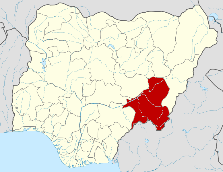
According to a press statement by the Media/Communication Officer, Mineral Sector Support for Economic Diversification Project, Ministry of Solid Minerals Development, Ishaku Kigbu, the operation will cover five local government areas. Namely: Ardo Kola, Jalingo, Karim Lamido, Lau, Yorro and Zing.
The ministry is therefore notifying Tarabans of the presence of aircraft that would be flying at low altitude in the aforementioned areas.
“The Ministry of Solid Minerals Development, wish to re – notify the people of Taraba State, that the Federal Government, in continuation of its quest to improve the availability of geological information and data to enhance the diversification of the economy to achieve the Renewed Hope agenda of the present administration, is still embarking on an airborne geophysical survey within and around the state.
“Having carried out full sensitisation in the state earlier, the ministry wish to re -emphasise that the activity is still ongoing hence the state will experience the flying of these special aircraft at very low altitude in a repeated pattern to capture magnetic anomalies.
“In Taraba State, areas the aircraft will fly at low altitude to capture geological information and data include Ardo Kola, Jalingo, Karim Lamido, Lau, Yorro and Zing LGAs.
“The Ministry of Solid Minerals Development, therefore, wishes to inform the state and LGAs affected not to panic or entertain fears as the activity is safe.
“This has become very necessary given the security situation in the country and to ensure that the people are not misinformed or dis-informed,” the statement read.
The statement added that the “Airborne Geophysical Mapping Survey” started in June 2021, and that a “robust sensitisation and enlightenment campaign was carried out in the 19 states that were to be covered by the activity”
“The programme experienced overlaps due to weather conditions and logistical reasons but has been progressing well since it started,” the statement ended.